WWII: Maginot Line | Normandy | V-Weapon Sites | Arnhem
Further afield: Crete
| Home Tracing Military Ancestors Travel Advice CWGC Cemeteries Iron Harvest News Book Reviews Glossary Links Contact Me Vosges:
 
|
The Vosges Mountains and Alsatian Battlefields – A Photographic TourThis photographic tour guide outlines how to get to and what to see at some of the key locations in the Vosges Mountains battlefield. It is not meant to be a comprehensive guide of every memorial, cemetery or blockhouse - I recognise that most people may only have a day or a weekend to explore the area. This guide details the locations that I consider offer the best combination of historical significance and things to see for the modern battlefield visitor. To assist the tourist unfamiliar with the area I have included a map for each location. Here's an interactive map, showing all locations:
It would be realistic to assume that the vast majority of British visitors will bring their own transport and I have primarily written the guide was this in mind. If the visitor has a more lengthy stay in mind, then cycling or walking the area are options. Walking can offer the visitor the chance to discover parts of the battlefield that might be easily missed in a car. However, from my experience, driving from site to site followed by walking each location is the best way to see as much of this sector as possible.
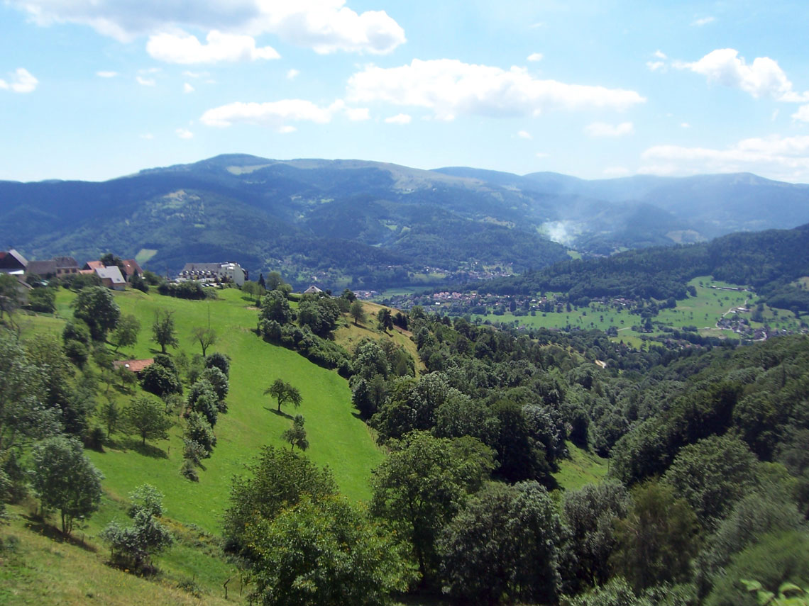
Of all the battlefields of the First World War, the Vosges Mountains is perhaps the least explored by the British tourist but is certainly one of the most rewarding. Amongst the mountains, forests, foothills and ravines which now form a beautiful winter skiing and outdoors activity area, the scars of battle remain. Indeed, in some places, such as on the slopes of Le Tete des Faux, trenchlines and gun positions appear almost as if they have been vacated the previous day. In others such as Le Ligne (lignekopf) and the Vieil Armand (Hartmannsweilerkopf), interpretative centres and museums attempt to piece together the confusing picture of attack and counter-attack which so characterised the fighting here. An obvious route from which to access the key sights is the Route des Crêtes, built by French engineers in 1915 to supply their forces in the inhospitable terrain. It runs southwards from the Col du Bonhomme, the historic gateway between Lorraine and Alsace, and winds its way through some of the most breathtaking natural scenery in France before it descends into the towns of Thann and Cerney at the edge of the Alsatian Plain. All the locations can (at a stretch) be seen during the course of a two-night stay in Colmar although a longer three-night stay will allow you to spend more time exploring each location as well as to sample the delights of this quaint medieval town and its environs. For a chronological history of where each location fits into the story of the fighting that took place here in 1914-16, please click on the links to Vosges Mountains and Alsatian Battlefield – A Brief History.
Locations
|
||||||