WWII: Maginot Line | Normandy | V-Weapon Sites | Arnhem
Further afield: Crete
| Home Tracing Military Ancestors Travel Advice CWGC Cemeteries Iron Harvest News Book Reviews Glossary Links Contact Me Artois:
 
|
Vimy Ridge and the Artois Battlefields – A Brief History
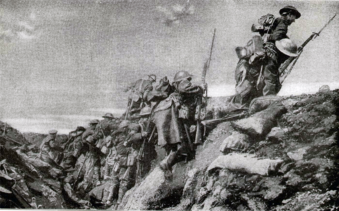
Located between the more famous battlefields of Ypres and the Somme, First World War accounts of the fighting in the Artois region are usually dominated by the capture of its key topographical feature - Vimy Ridge, by the Canadian Corps on 9th April 1917. Although undoubtedly one of the great successes of the war, however, it is not the only story to be told here. In 1915 the French Army fought a series of bloody battles to drive the Germans from the ridge and the spur of Notre-Dame de Lorette, to the north-west. In support of French operations the British launched diversionary attacks further north at Aubers Ridge, Festubert and Loos. Then, in 1917, in the wake of the capture of Vimy Ridge, British and Commonwealth forces fought a string of tough, bruising encounters in and around the villages of Gavrelle, Monchy le Preux and Bullecourt, as the Germans recovered from their earlier surprise and contested every inch of ground. The immense scale of sacrifice in this region is evidenced by some of the largest cemeteries and memorials on the Western Front. They include the French National Cemetery on Notre Dame de Lorette (19,000 identified graves and 16,000 in six mass graves), Neuville St Vaast German Cemetery (37,000 identified graves and 8,000 in one mass grave) and the Faubourg d’Amiens Commonwealth Memorial to the Missing on whose walls are etched 36,000 names of those who were never found. As with Ypres further to the north, the key to understanding the pattern of the fighting here lies in understanding the ground. As the motorist travels south on the motorway from Calais to Arras, the great spur of Notre-Dame de Lorette with its ossuary tower is obvious to the west but, a few miles further on, as they glance to the east, only a slight incline up to the Canadian Memorial is evident. This is the view that the French and British armies had of the German positions for much of the first three years of war. Yet the picture is deceptive, for when one ventures up to the Memorial or to the top of Notre-Dame de Lorette and looks to the east, the view over the flat industrial regions and coalfields of Lens and Douai is nothing short of commanding. This is central to explaining the essentially offensive nature of the Allies stance here – the desire to take the crest line and threaten the German-controlled plain, hopefully winning back the coalfields which pre-war had produced three and a half million tons of coal annually and taking the important railway junctions of Lens and Douai. Capture of the high ground would also remove the threat of a sudden German assault against the town of Arras. The fighting in the region can be grouped into five main climaxes of battle:
|