WWII: Maginot Line | Normandy | V-Weapon Sites | Arnhem
Further afield: Crete
| Home Tracing Military Ancestors Travel Advice CWGC Cemeteries Iron Harvest News Book Reviews Glossary Links Contact Me Ypres:
 
|
Core Location 8 – Hooge
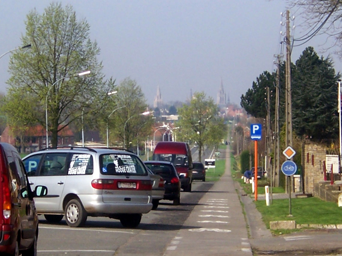
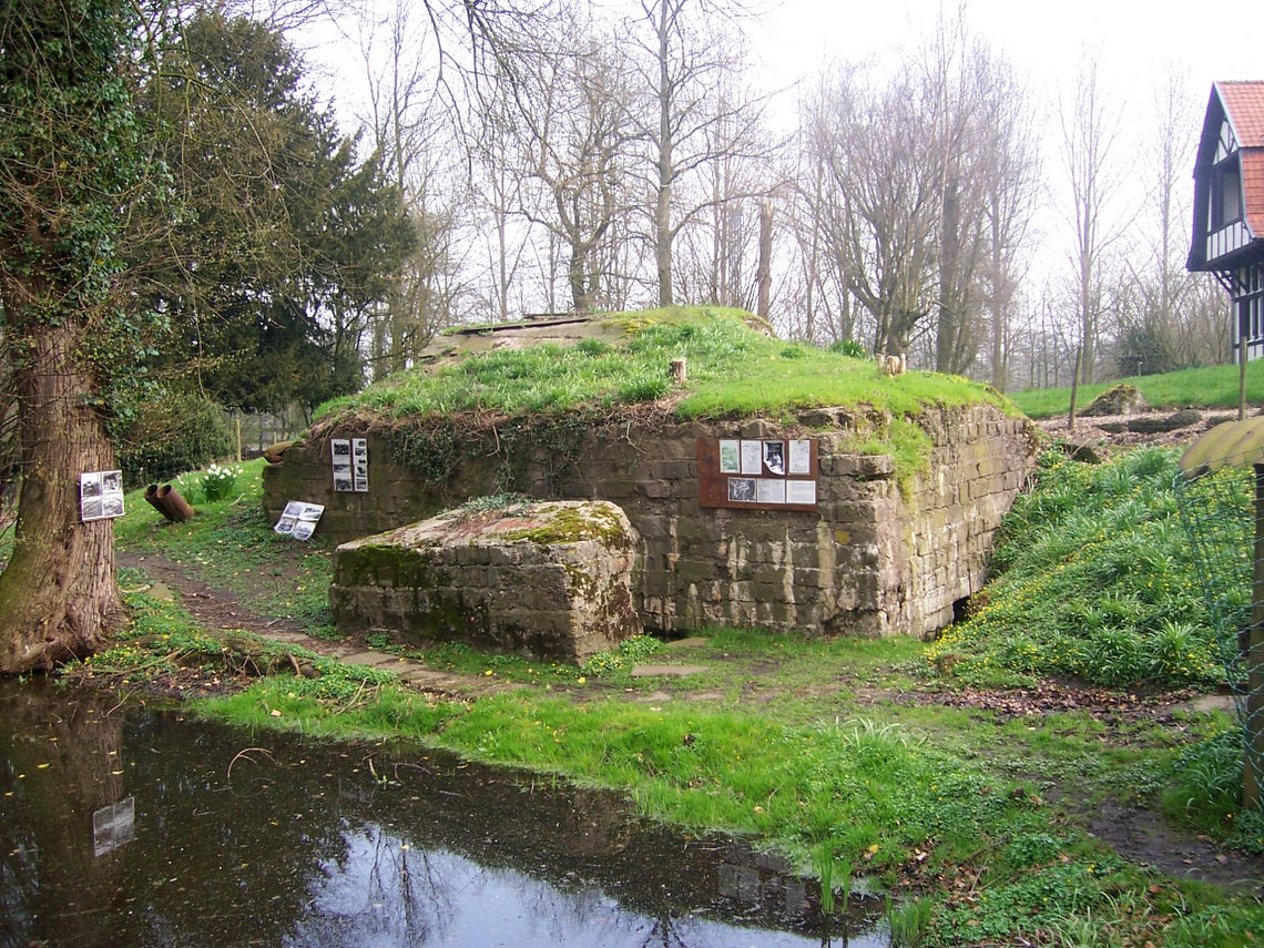
Directions – Leaving Tyne Cot car park turn left, right on reaching the main road and follow signs to Zonnebeke and Ieper. Once past Zonnebeke village take a left just before the brickworks, the next right, crossing over the A19 Motorway, and then the second left. At the "T" junction turn right and then right again onto the main road. This is the Menin Road and the main road into Ieper from the east. About 1.5km further on you’ll find the Hooge Crater Museum on the right. Park in the parking bays provided. Practical Information – Be very careful when crossing the road to the cemetery and even getting in and out of your vehicle in the parking bays – the Menin Road is very straight and locals travel down it at extremely high speed! A hotel now stands near the site of the original Hooge château and is located a hundred yards up the hill from the museum on the same side of the road. In the grounds to the left are blockhouses and a lake, which was landscaped from one of the mine craters that were a feature of this part of the Salient. This is well worth a visit as the owners have taken the trouble to include a sign-posted walk around the gardens.
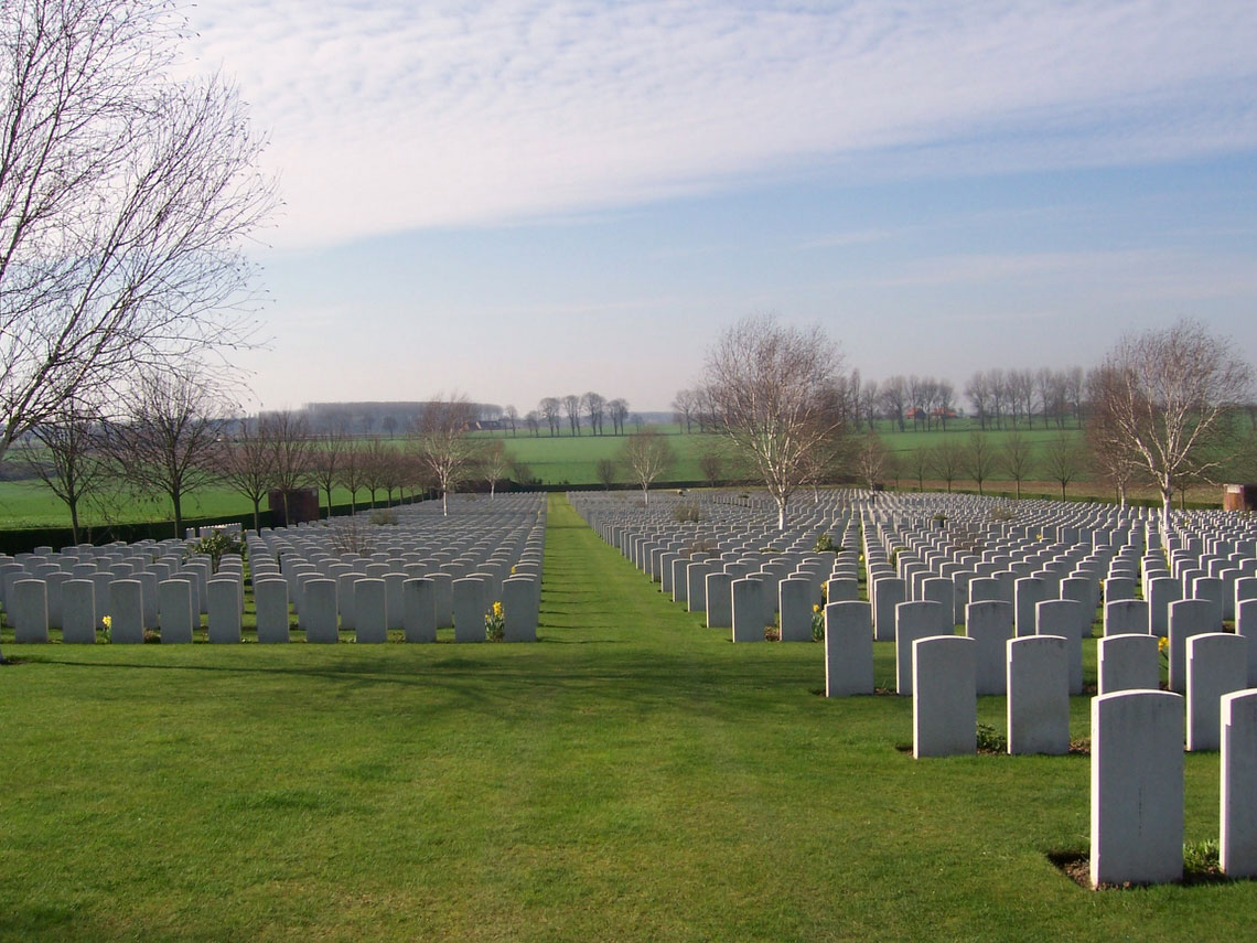
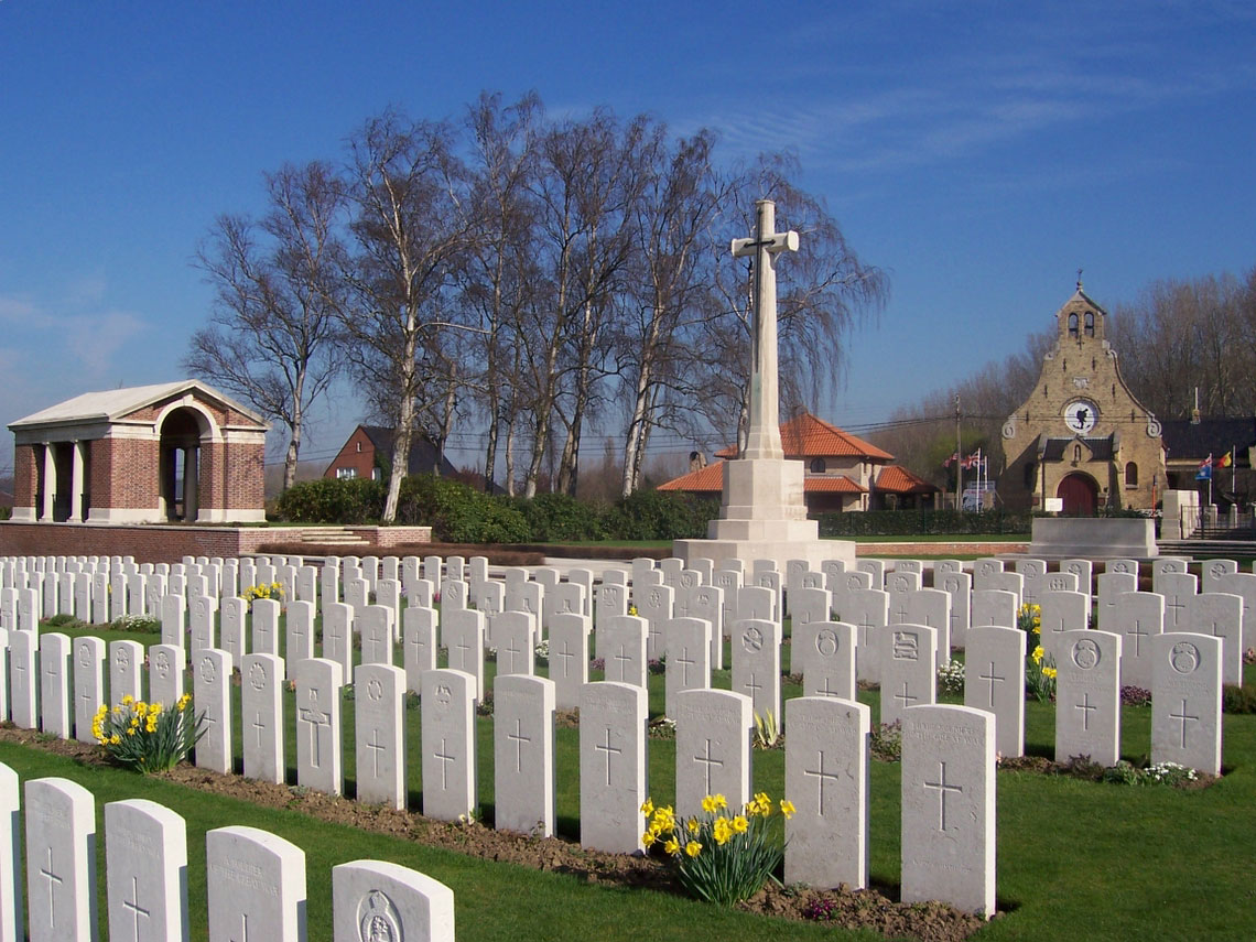
Historical Notes – At the eastern tip of the Salient and only 4 km from the centre of Ypres, Hooge was at the centre of some of the heaviest fighting and had a ghastly reputation. It was the scene of the "liquid fire" attack of 30 July 1915 when the Germans used burning petrol sprayed from cylinders to try and force the British out of their positions. The château that stood here before the war was a headquarters during the fighting around Gheluvelt in October 1914. Captured by the Germans in May 1915 it was to change hands a number of times before crushing artillery fire reduced it to ruins. By November 1918, nothing remained. Across the road from the museum is Hooge Crater CWGC Cemetery, which contains 5,892 burials, 60% of whom are "unknowns". The cemetery was started during Third Ypres when the frontline had moved further to the east and expanded when it became a “concentration” cemetery after the war. Near the entrance a stone wall encircles the Stone of Remembrance – a visual reminder of the large mine that was blown at this spot.
Eyewitness Account – In his book, "The Realities of War", Sir Phillip Gibbs relates the horrifying scene at Hooge: "It was not far out of Ypres, to the left of the Menin Road, and to the north of Zouave Wood and Sanctuary Wood. For a time there was a château there, with excellent stables, and good accommodation for one of our Brigade Staffs, until one of our generals was killed and others wounded by a shell which broke up their conference. Afterwards there was no château, but only a rubble of bricks banked up with sand-bags and deep mine-craters filled with stinking water slopping over from the Bellewaarde Lake and low-lying pools. Bodies, and bits of bodies, and clots of blood, and green, metallic-looking slime, made by explosive gases, were floating on the surface of the water below the crater banks when I first passed that way, and so it was always. Our men lived there and died there within a few yards of the enemy, crouched below the sand-bags and burrowed in the sides of the crater. Lice crawled over them in legions. Human flesh, rotting and stinking, mere pulp, was pasted into the mud banks. If they dug to get deeper cover, their shovels went into the softness of dead bodies who had been their comrades. Scraps of flesh, booted legs, blackened hands, eyeless heads, came falling over them when the enemy trench-mortared their position or blew up a new mine-shaft." Extract taken from Flanders Then & Now, The Ypres Salient and Passchendaele by John Giles, Battle of Britain Prints International Ltd 1995. |
|||||||||||