WWII: Maginot Line | Normandy | V-Weapon Sites | Arnhem
Further afield: Crete
| Home Tracing Military Ancestors Travel Advice CWGC Cemeteries Iron Harvest News Book Reviews Glossary Links Contact Me The Somme:
 
|
Location 5 – Along the Thiepval Ridge to Pozičres
Directions to Thiepval – The road from Newfoundland Memorial Park across the River Ancre to Pozičres passes the key Thiepval position – lynchpin of the German defences above the River Somme. However, my advice would be to leave this location till the end of the tour where the museum and memorial can be put in their full context. Leave the Newfoundland car park and continue south towards Hamel. As you enter the village you will descend a slope. Take the left at the T- junction, the D50 to Beaucourt and Miraumont and, almost immediately afterwards, a right to Thiepval and Pozičres on the D73. An interesting optional visit here is to Ancre British CGWC Cemetery, which is further along the D50 on the left. It was started in 1917 by V Corps and then extensively expanded as a concentration cemetery after the Armistice. There are now over 2,500 graves here including that of the son of Viscount Rothermere, the owner of the Daily Mail. The cemetery itself lies in the 1st July no-man's-land and contains many men of the 63rd Royal Naval Division who eventually took what was left of the village of Beaucourt in November 1916. There are good views from here across the River Ancre to the Thiepval Ridge.
Turning onto the D73 to Thiepval you will pass over a railway track and then over the River Ancre itself before climbing up onto the Thiepval Ridge. You pass the Ulster Memorial Tower and Mill Road CWGC Cemetery on the left and Connaught CWGC Cemetery on the right before reaching the crossroads at Thiepval. Historical Notes – This area was the scene of one of the only successes for the British on the northern part of the battlefield on 1st July, when the 108th and 109th Brigades of the 36th Ulster Division swept out of Thiepval Wood behind Connaught Cemetery and crashed through the German defences including the formidable Schwaben Redoubt. With the failure of attacks on their flanks however, they could not hold their gains and were forced to fall back by the evening. The event remains an important date of commemoration in the Ulster calendar.
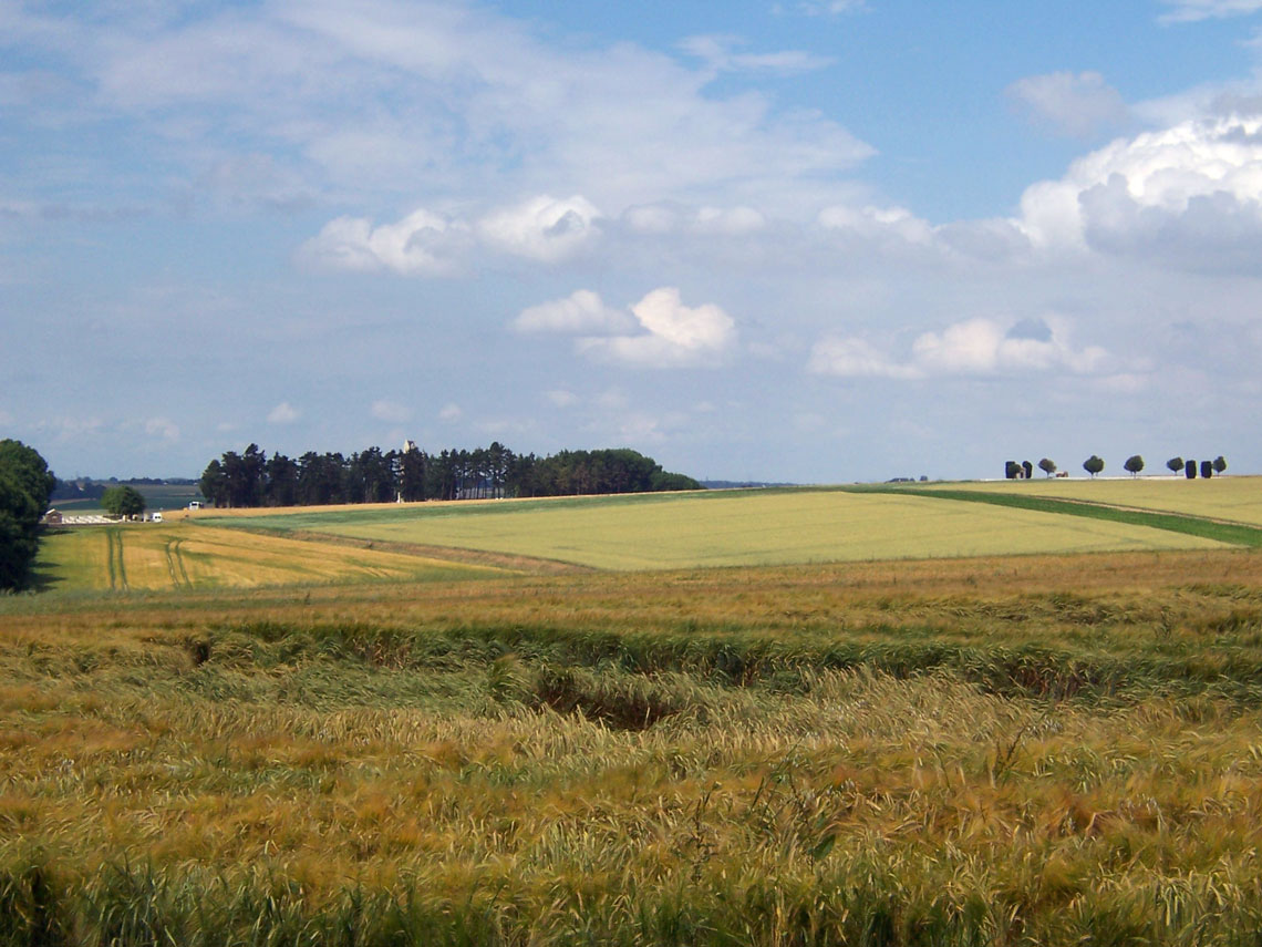
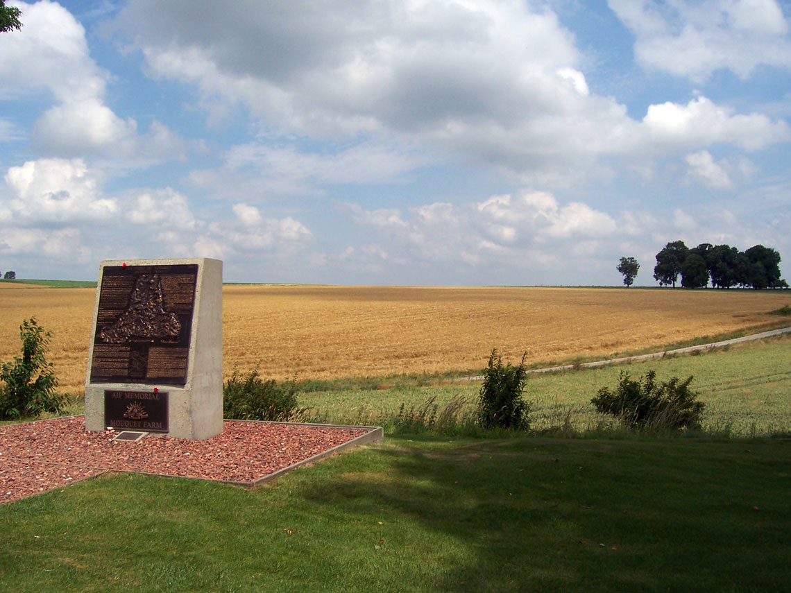
Directions from Thiepval to Pozičres – Continue straight ahead at the crossroads on the D73 to Pozičres. You will begin to drop into a shallow depression and within a few minutes an Australian Imperial Force (AIF) Memorial becomes visible on the left next to the road. This denotes the position of Mouquet Farm, which was totally destroyed during the bitter fighting to break through the German second defensive line north of Pozičres village in August and September. Continue on until you reach the main road (the D929) in Pozičres.
|
||||||||